Table of Contents
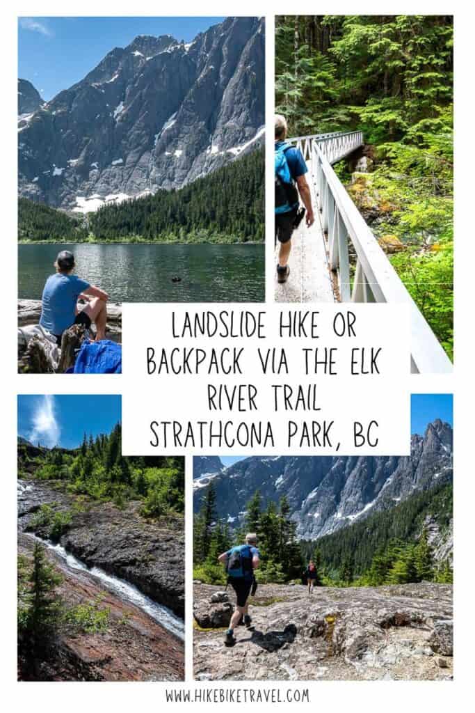
The hike to Landslide Lake in Strathcona Park is a challenging full-day trip – but absolutely worth the effort if you’re up for it. The trail winds through some beautiful old-growth forest, crosses creeks galore, passes several waterfalls, and rewards you with some of the best mountain scenery on Vancouver Island. The lake itself, backed by the dramatic cliffs of Mount Colonel Foster, is a fantastic sight. It’s a very big day, but if you love a wild, rugged adventure, this one delivers.
For those of you who want to savour the experience, there is also the option to visit Landslide Lake as part of a backpacking trip. There are two first come, first-served campsites, with the closest one to Landslide Lake just 2 kilometres away. If you’re keen to hike to Berg Lake to see the icebergy bits, backpacking in is your best bet as you’ll want a couple of hours to explore it properly
This post includes some affiliate links. If you make a qualifying purchase through one of these links, I will receive a small percentage of the sale at no extra cost to you. Thank you very much for your support.
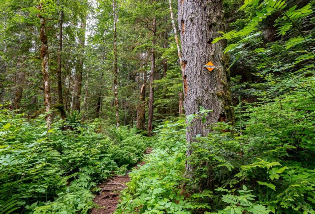
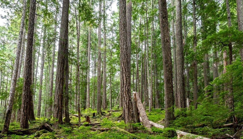 Beautiful woods on the start of the hike to Landslide Lake
Where is the trailhead for the hike to Landslide Lake
Take Highway 28 West from Campbell River for 47 kilometres to reach a T-junction with Westmin Road (labeled Western Mine Road on Google Maps) at a bridge in Strathcona Provincial Park. Turn right and cross the bridge. Continue towards Gold River on Highway 28 for another 23 km to reach the well-signed Elk River Trail on your left. There is lots of parking.
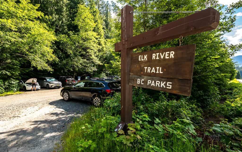 The Elk River trailhead is well-signed on Highway 28
 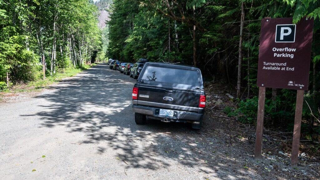 The overflow parking was overflowing!
Trail map
The trail to Landslide Lake is generally straightforward – especially if you know to head towards the waterfall on the last kilometre of the hike. (Note the stats below in the photo aren’t correct.)
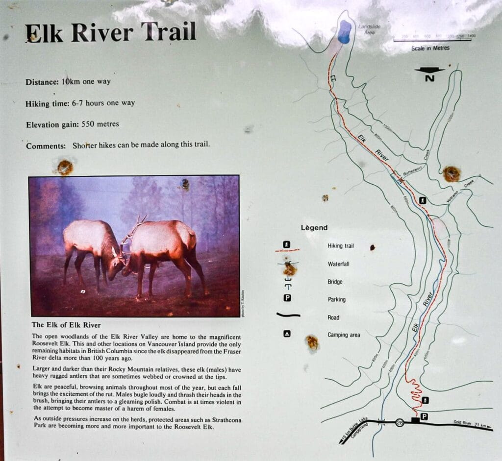 Note the trail to Landslide Lake in red on the right
Quick facts about the Landslide Lake hike
Distance: Approximately 22 km return + 3 km return to Berg Lake
Elevation gain: 687 metres or 2,254 feet
Level of difficulty: Hard, especially as a day hike.
Time needed: 8 – 9 hours as a day hike, or two days as a backpacking trip
Camping: Allowed at two sites ONLY – Butterwort Creek Campground and Gravel Flats Campground. No camping at either Landslide Lake or Berg Lake. Campsites are first come, first served.
Camping fees: Backcountry camping fees are $10 per adult and $5 per child (6 – 16). Backcountry registration is required to camp.
Dogs allowed: Yes, but on leash.
Don’t forget: Pack the 10 hiking essentials and practice the seven Leave No Trace principles.
Weather forecast: Check out Windy.
Don’t forget: Pack the 10 hiking essentials and practice the seven Leave No Trace principles.
Best time to hike: Late June until early October.
Bears: To be on the safe side I would recommend carrying easy to access bear spray.
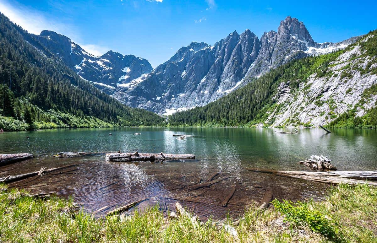
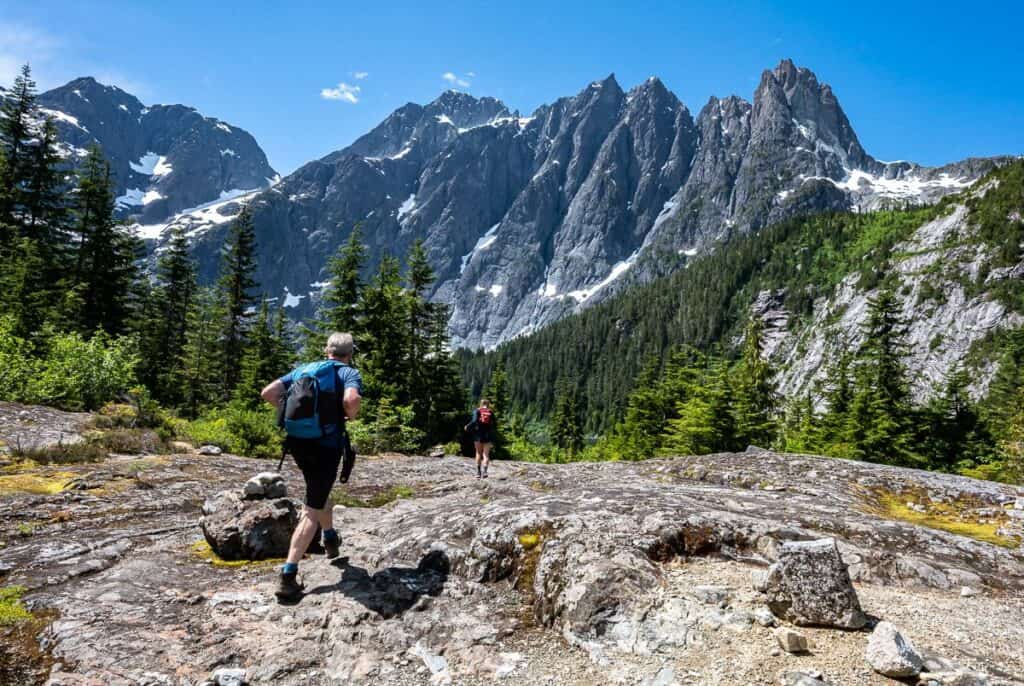 Almost at Landslide Lake in Strathcona Provincial Park
Location map of Landslide Lake
Trail overview: What to expect on the hike to Landslide Lake
There are three main sections to the Landslide Lake hike or backpack.
- The forested 6 km Elk River section is gradual after you finish climbing a series of switchbacks in the first 0.7 km.
- The section between the two campsites located at approximately the 6 km and 9 km mark.
- The final push to Landslide Lake.
 We did see lots of yellow markers until the last 2 km to Landslide Lake
The first 6 km of the Landslide Lake hike
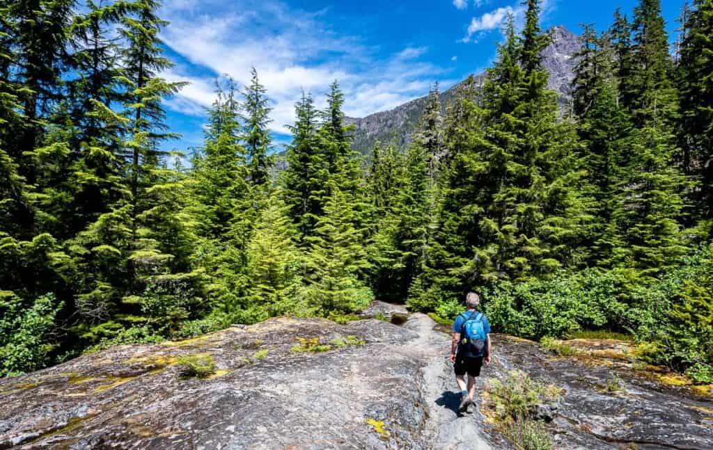
The first part of the hike to Landslide Lake on Vancouver Island takes you through second growth forest, and then into an open area with a large power line and some wildflowers. From there climb, steadily on switchbacks up a hill in beautiful old-growth forest. At the top of the hill you will have gained 100 metres in under a kilometre.
After the warmup climb, head down to the Elk River and follow it, gaining elevation at a very gradual rate. There are several places along the river where you can drop down and refill water bottles or cool off if it’s a hot summer’s day.
When you reach the bridge over Puzzle Creek, you’ll be somewhere around 90 minutes from the parking lot. A few minutes after crossing a well-built bridge, you’ll have to log-hop across Volcano Creek.
When you reach a crazy set of roots shortly after the log-hop (see photo below), look up and admire the huge old-growth cedar. In no time after this you’ll come to the first of the two campgrounds.
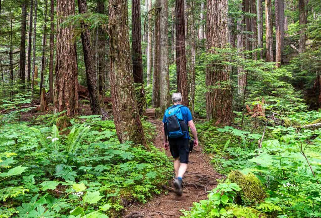 Pleasant walking through both second growth and old growth forest
 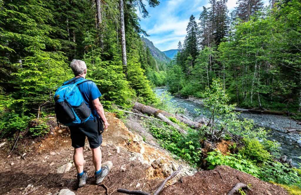 One of the first good views of the Elk River
 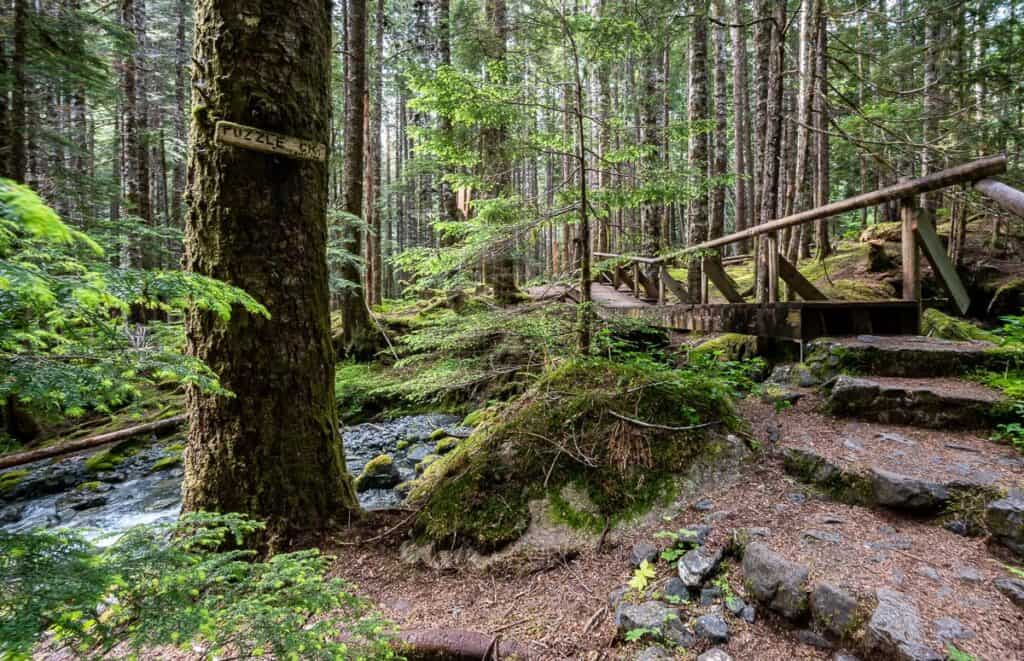 Crossing Puzzle Creek while hiking to Landslide Lake on Vancouver Island
 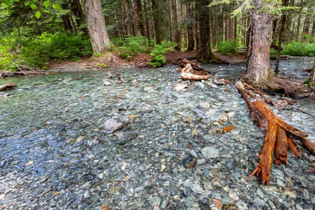 The Volcano Creek crossing on the Elk River Trail required log and rock hopping
 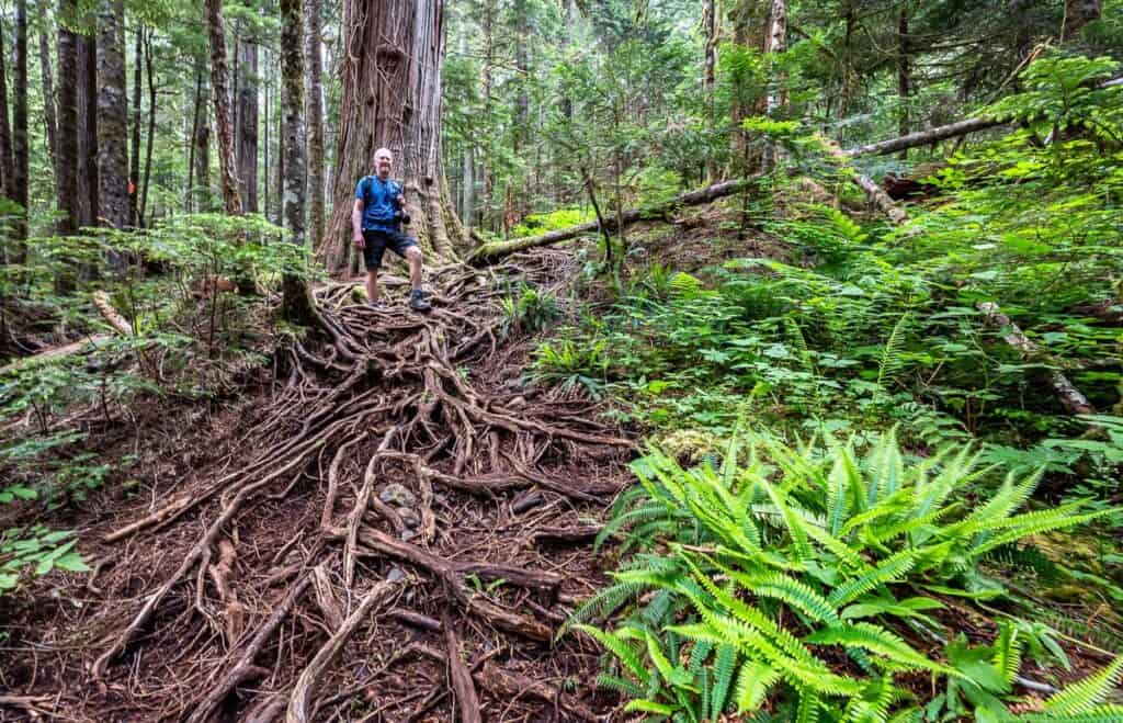 There are some rooty sections on the trail to Landslide Lake
 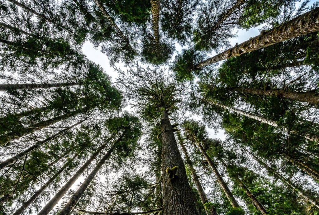 Take the time to look up at the trees
The tough hiking section between the two campsites
Butterwort Campground appears at the 6 km point. It’s a good place to take a break and get some water. For the next 3 km – until you reach the second campground, the terrain is rougher.
After crossing the long metal bridge over Butterwort Creek, look up to admire a set of waterfalls, partially blocked by the trees. Continue, hiking through a fine section of old-growth forest to reach a small but pretty waterfall. On the hike back, it’s a good place to cool off and fill water bottles. (The 1L Katadyn BeFree Microfilter is an excellent choice as you can fill and drink immediately.)
This 3-kilometre part of the hike to Landslide Lake includes some scrambling over a couple of rocky bluffs, including the one by the small waterfall pictured below along with some steeper hiking high above the Elk River. You know you’ve reached the second campground when you see a couple of metal bear boxes by the trail.
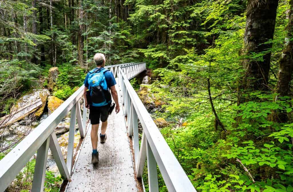 Cross Butterwort Creek on a long new-looking metal bridge
 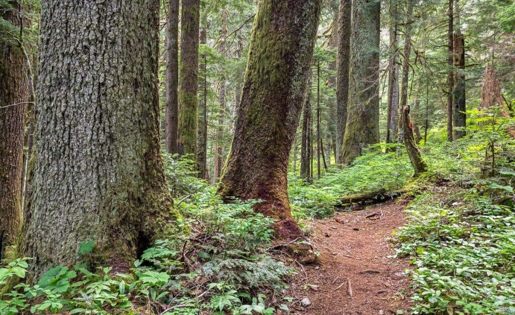 Marvelous big trees after the bridge over Butterwort Creek
 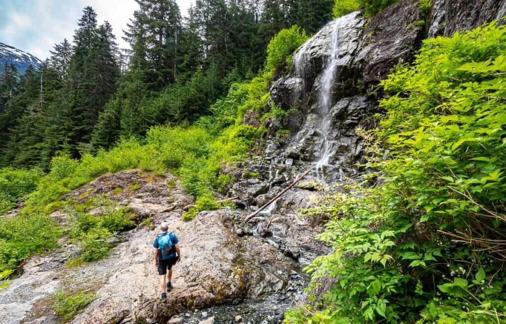 One of the small but refreshing waterfalls along the route; watch your footing
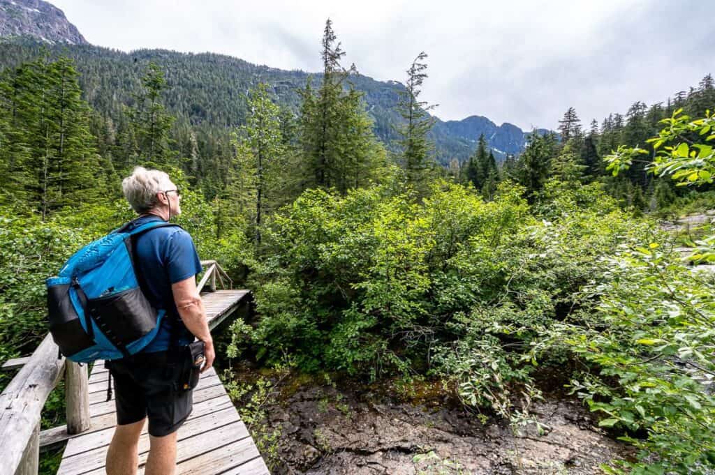
The final push to Landslide Lake
Continue hiking for about a kilometre to reach a wooden bridge. Cross it and head right looking for cairns up the rock slabs. You’re ultimately heading up towards the base of the waterfall. Always keep well back from the water’s edge!! Once you near the bottom of the falls look for flagging off to the left in the trees.
Follow the well-trodden flagged route up steeply at times to reach the flat rocky area before Landslide Lake. Head for the water’s edge and find a rock or a log to enjoy the well-deserved view of both the lakes and the cliffs of Mount Colonel Foster.
Option to continue to Berg Lake
From Landslide Lake, many people will climb 70 metres and hike – bushwack 1.5 km to Berg Lake, a glacial tarn known for its bergy bits. We did not do this in the interests of time. I understand that you need a minimum of 45 minutes each way – and time at the lake itself. The reward for those of you who do it is a glorious view of Mount Colonel Foster and the ice floating in the lake.
If you’re camping, this is a great add on to your Landslide Lake backpacking trip.
 Turn right after you cross the bridge to continue to Landslide Lake
 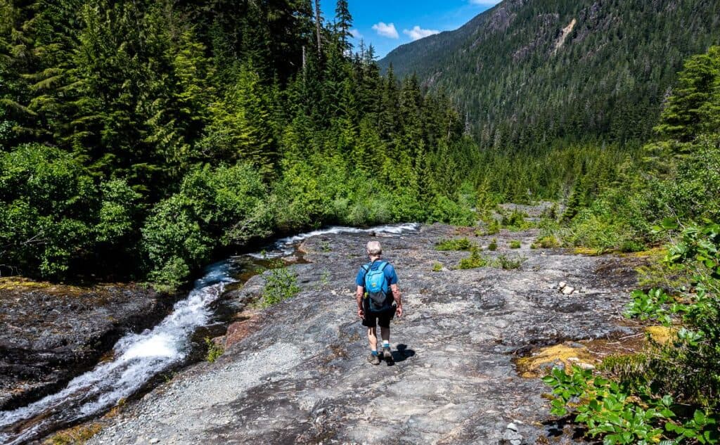 Picture is of the descent BUT immediately after crossing the bridge (not seen here) turn right and head up the creek on the rocks
 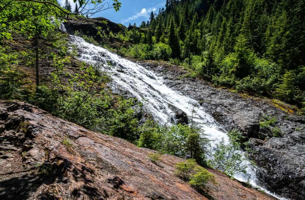 Turn up into the woods near here – looking for flagging
  The final hike across the rock slabs to reach Landslide Lake in Strathcona Provincial Park
 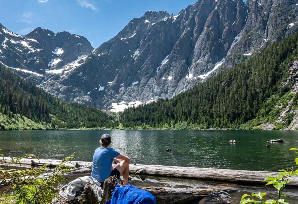 Me enjoying our lunch time spot beside Landslide Lake
The hike back to the parking lot from Landslide Lake
In the hot afternoon sun, the hike back to the parking lot feels longer than the hike in. At the start of the descent near Landslide Lake, I really enjoyed the mountain views that you don’t get a chance to appreciate on the way up. If you’re not in a rush, there are plenty of places along the route to stop and cool off.
 Retracing our steps back to the Elk River parking lot
 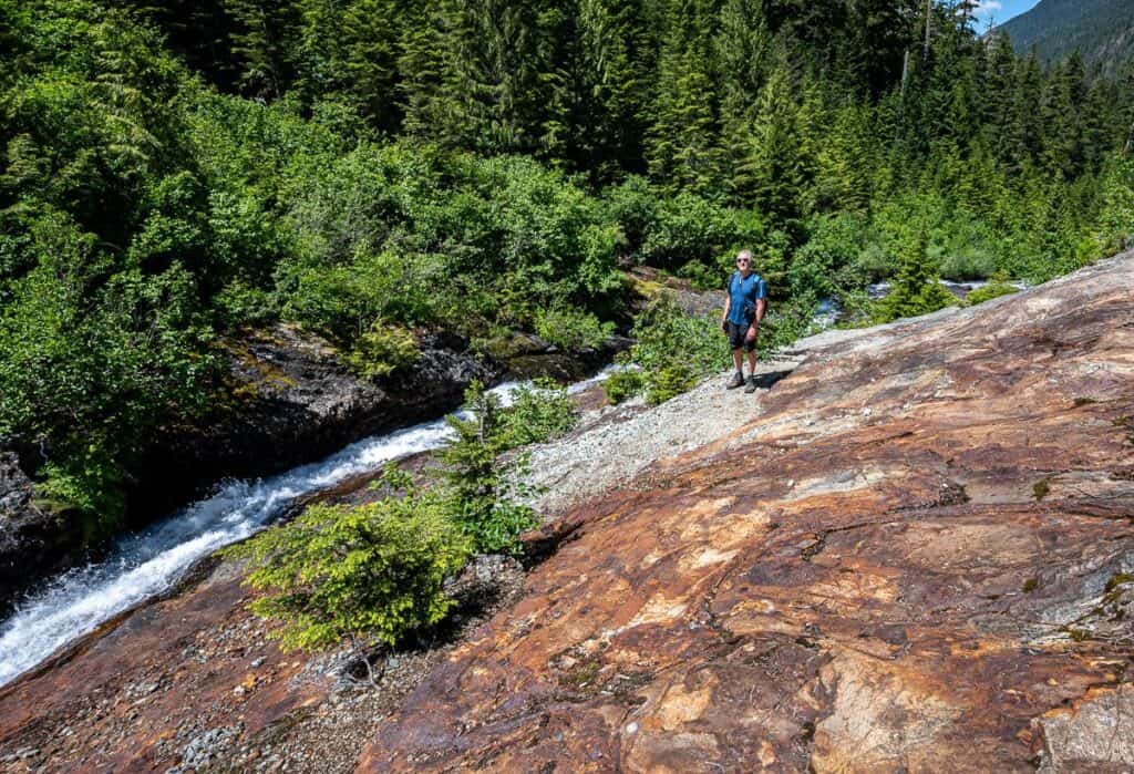 Lots of rusty rock around – and fast, easy hiking on these slabs
 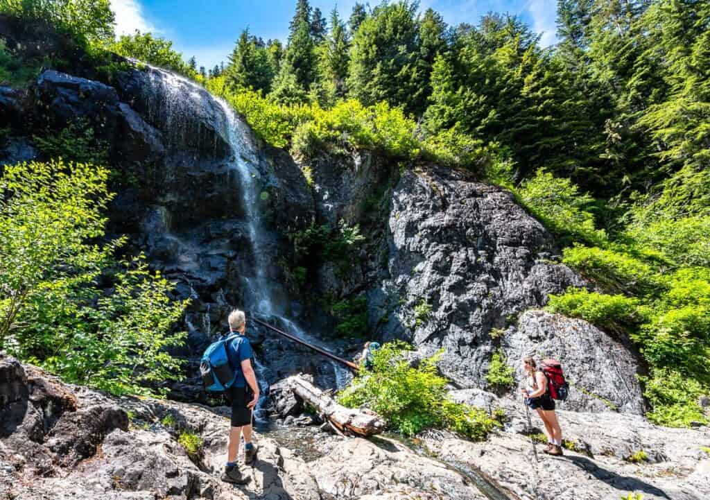 A refreshing stop at this small waterfall after the hike to Landslide Lake
 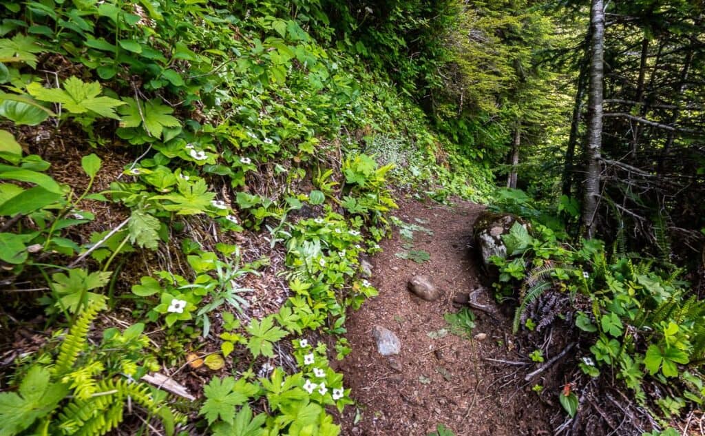 Some flowers in the understory on the hike to Landslide Lake
  One of the biggest trees we saw along the Elk River Trail on the Landslide Lake hike
 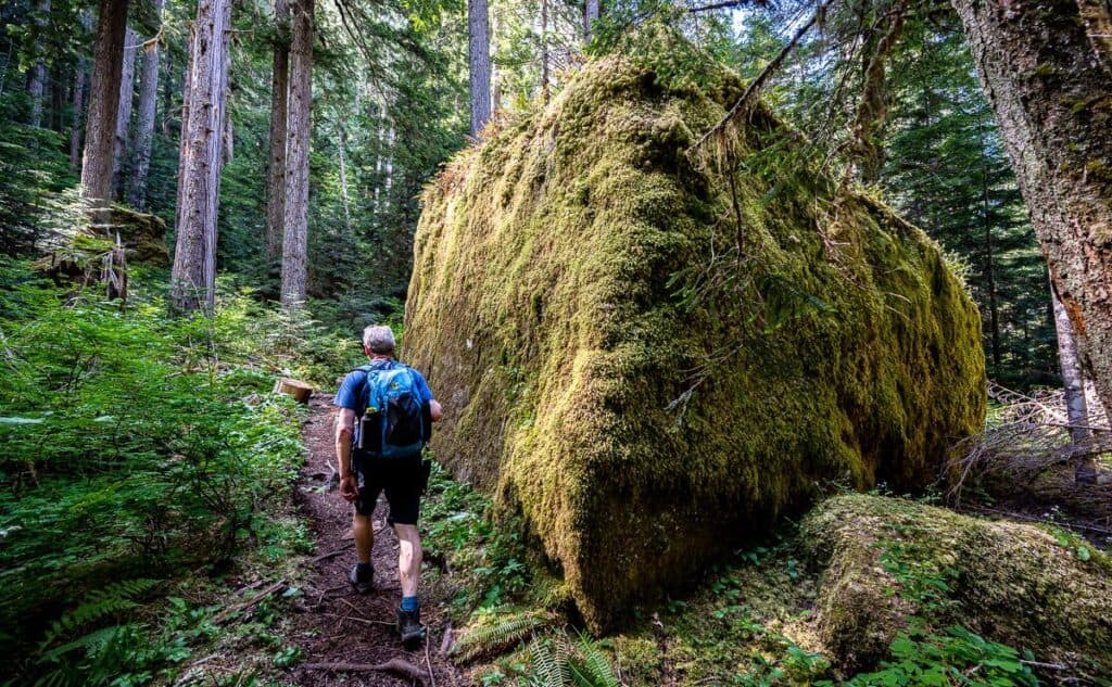 We saw several massive mossy boulders on the hike
Backpacking to Landslide Lake: Campsites and Regulations
There are only two places along the Elk River Trail where you are permitted to camp – Butterwort Creek Camp and the Gravel Flats Campground. In the summer, these are busy places, especially on weekends, so try to arrive early.
Butterwort Creek Campsite
The Butterwort Creek campsite is less popular than Gravel Flats and as such it’s quieter. There’ i’s room for about 12 tents if you spread out along the gravel. The best ones are beside the trees for a bit of rain protection.
Look for an outhouse a short distance away. Nearby is a food locker. Water is easy to collect from the river.
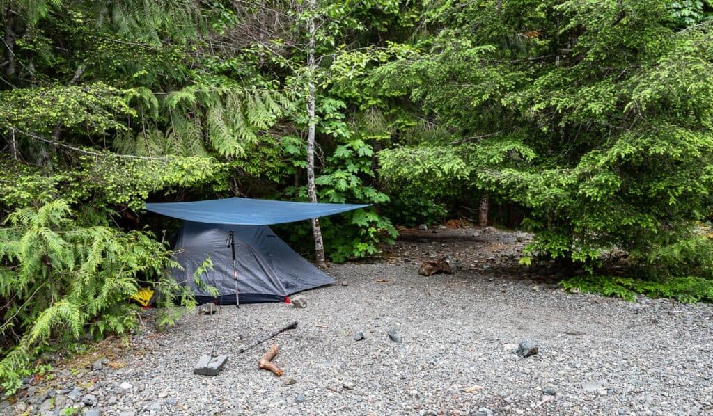 Camping under the trees in Buttlewort Creek campground – a quieter stop on the Landslide Lake hike
 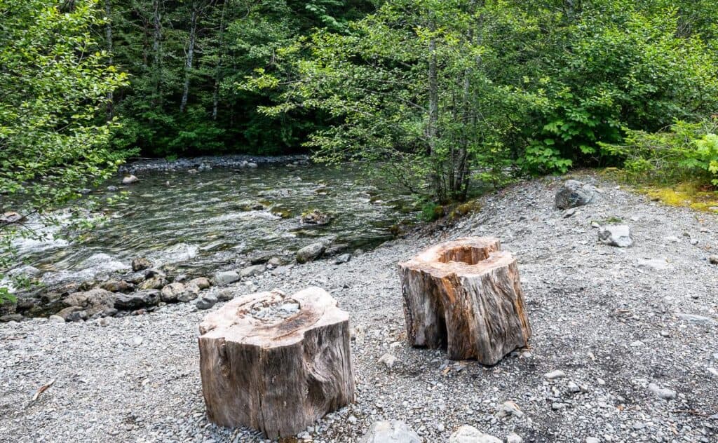 Easy access to the water at the Buttlewort Creek campground
The Gravel Flats Campground
The Gravel Flats campground is just a 2 km hike away from Landslide Lake, so it’s a popular one. A stay here also allows you to visit Berg Lake more easily as it requires a 90 minute – to two hour bushwack from Landslide Lake. It holds bergy bits into July.
In theory there is space for 24 tents both in clearings as pictured below and on the gravel bar, but you’ll be crammed in. Food storage lockers are located just off the trail to the campground. There is an outhouse nearby and water is easily collected from the river.
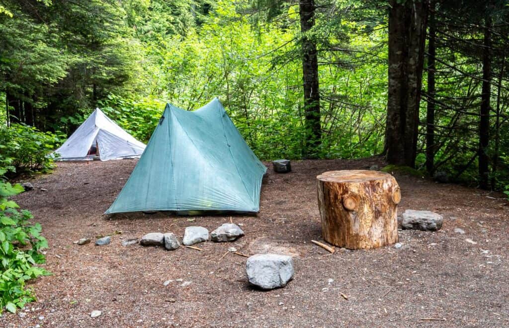 The Gravel Flats Campground around the 9 km mark is more spread out and busier
Where to stay nearby
The closest roofed accommodation is Strathcona Park Lodge.
You can reserve campsites at both the nearby Buttle Lake Campground and Ralph River Campground.
In Gold River you can stay at Baymont by Wyndham Gold River. There are also lots of hotel options in Campbell River.
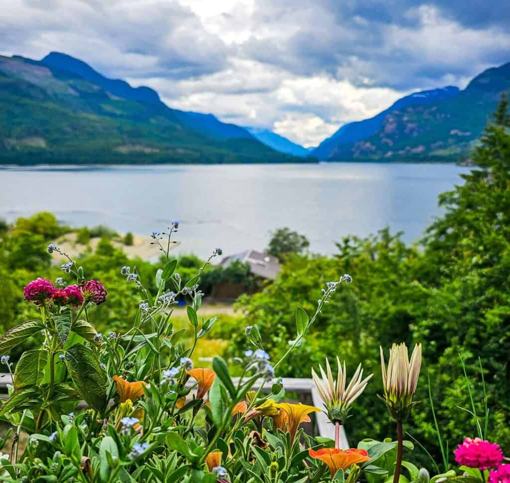 The flower-filled view from Strathcona Park Lodge
Interested in more hikes on Vancouver Island and the Gulf Islands?
Click on the photo to bookmark to your Pinterest boards.
Източник за тази статия
Наши спонсори са:
Български трактори на добри цени при изключително качество